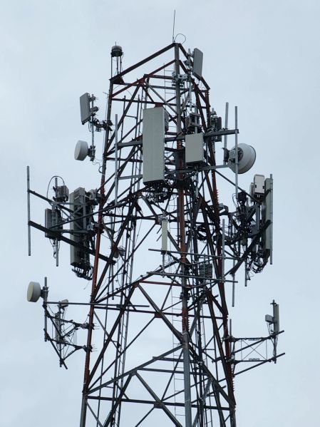
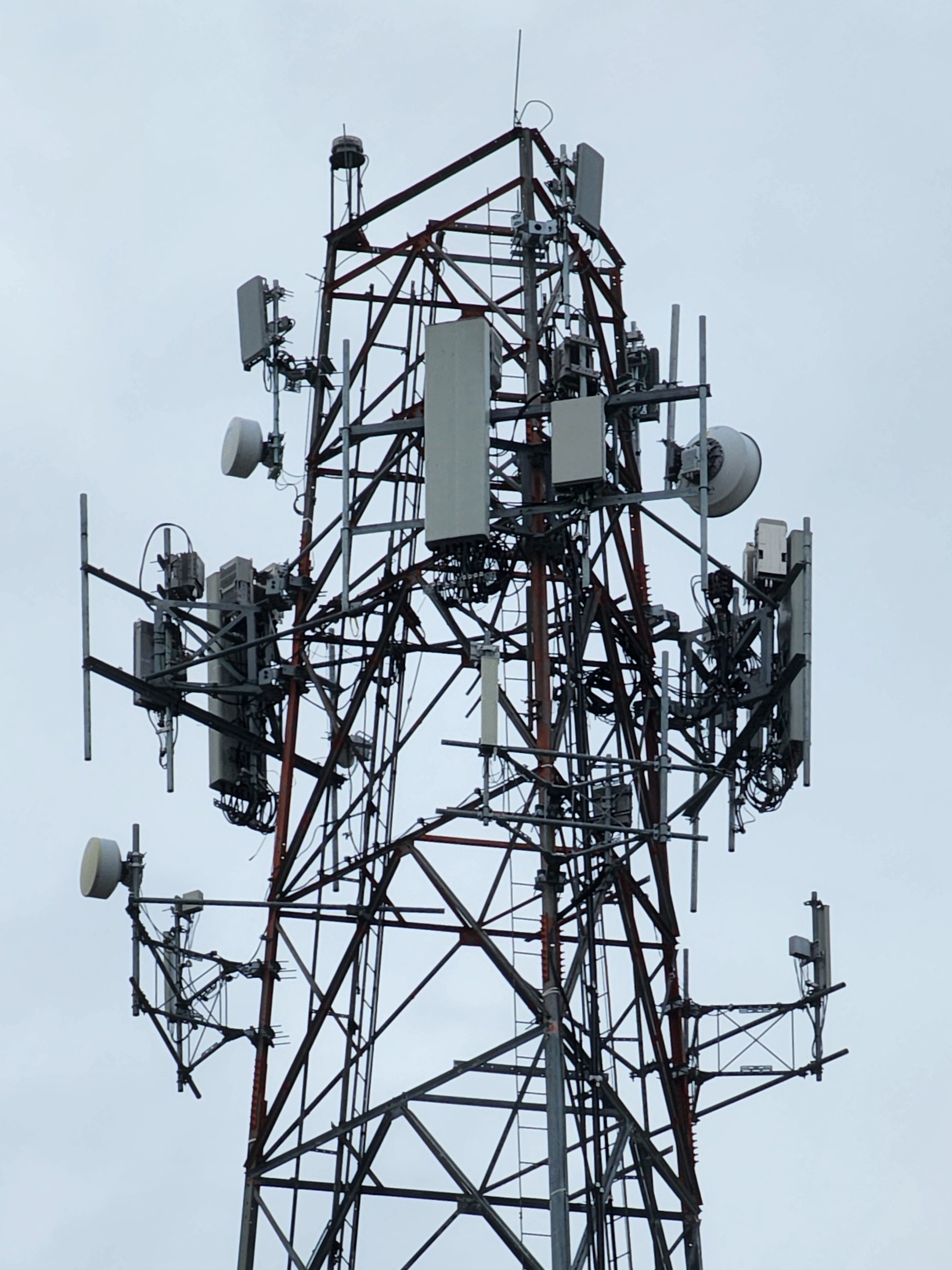
File:20231222 SBA Hurshtown Rd.jpg
Jump to navigation
Jump to search
Size of this preview: 449 × 599 pixels. Other resolution: 1,640 × 2,187 pixels.
Original file (1,640 × 2,187 pixels, file size: 522 KB, MIME type: image/jpeg)
SBA lattice tower on Hurshtown Rd between Grabill and Spencerville IN
File history
Click on a date/time to view the file as it appeared at that time.
| Date/Time | Thumbnail | Dimensions | User | Comment | |
|---|---|---|---|---|---|
| current | 13:10, 18 June 2024 | | 1,640 × 2,187 (522 KB) | Zac2 (talk | contribs) |
You cannot overwrite this file.
File usage
The following page uses this file: