File:Masto Varkaus Pajamiehentie.jpg
Jump to navigation
Jump to search

Size of this preview: 337 × 599 pixels. Other resolutions: 1,153 × 2,048 pixels | 3,008 × 5,344 pixels.
Original file (3,008 × 5,344 pixels, file size: 4.7 MB, MIME type: image/jpeg)
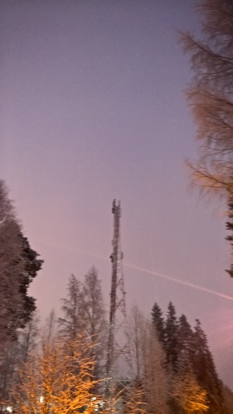
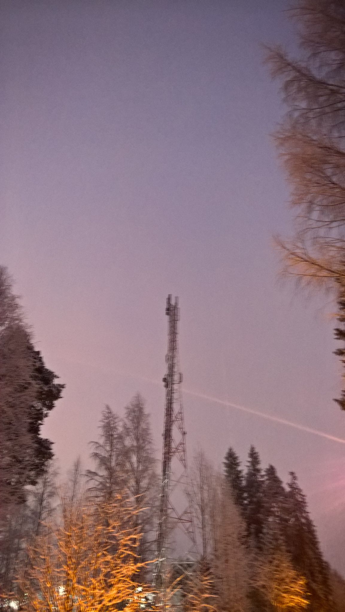
A tower in Varkaus, Finland at 62.3190782202619, 27.8380448548818
[[1]]
File history
Click on a date/time to view the file as it appeared at that time.
| Date/Time | Thumbnail | Dimensions | User | Comment | |
|---|---|---|---|---|---|
| current | 17:31, 24 January 2016 | | 3,008 × 5,344 (4.7 MB) | Jessenic (talk | contribs) | A tower in Varkaus, Finland at 62.3190782202619, 27.8380448548818 [[http://kansalaisen.karttapaikka.fi/kartanhaku/koordinaattihaku.html?y=62.3190782202619&x=27.8380448548818&srsName=EPSG%3A4258&e=406643&n=7195132&scale=8000000&tool=siirra&styles=norma... |
You cannot overwrite this file.
File usage
The following page uses this file: