Difference between revisions of "File:O2-mariendorf-indu+rail-back-close.jpg"
Jump to navigation
Jump to search
(Lots of directional radio antennas power o2's 4G sector antennas, that are on top of a high building close to the end of Kitzimgstraße, Mariendorf. Back side, seen from Trachenbergring through gardens and rail.) |
(No difference)
|
Latest revision as of 17:33, 25 February 2019
Lots of directional radio antennas power o2's 4G sector antennas, that are on top of a high building close to the end of Kitzimgstraße, Mariendorf. Back side, seen from Trachenbergring through gardens and rail.
File history
Click on a date/time to view the file as it appeared at that time.
| Date/Time | Thumbnail | Dimensions | User | Comment | |
|---|---|---|---|---|---|
| current | 17:33, 25 February 2019 | 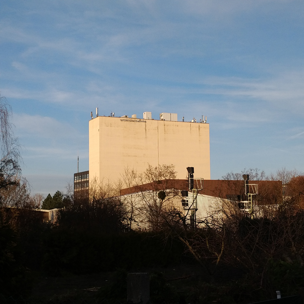 | 1,000 × 1,000 (606 KB) | TechNils (talk | contribs) | Lots of directional radio antennas power o2's 4G sector antennas, that are on top of a high building close to the end of Kitzimgstraße, Mariendorf. Back side, seen from Trachenbergring through gardens and rail. |
You cannot overwrite this file.
File usage
There are no pages that use this file.