Difference between revisions of "262 3 20326"
Jump to navigation
Jump to search
| Line 1: | Line 1: | ||
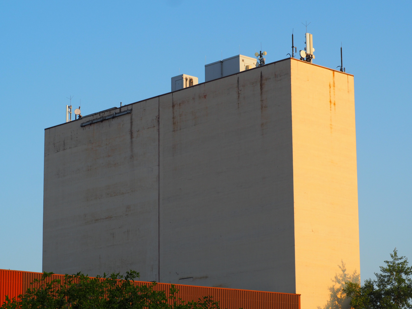
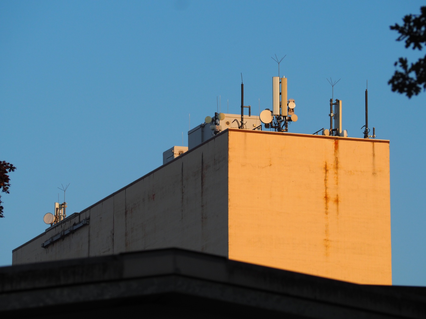
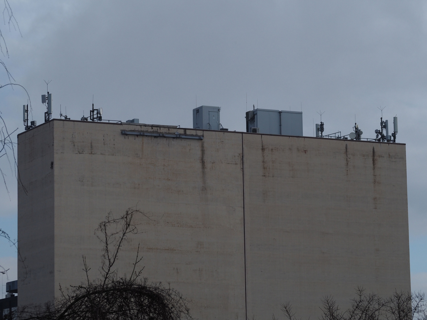
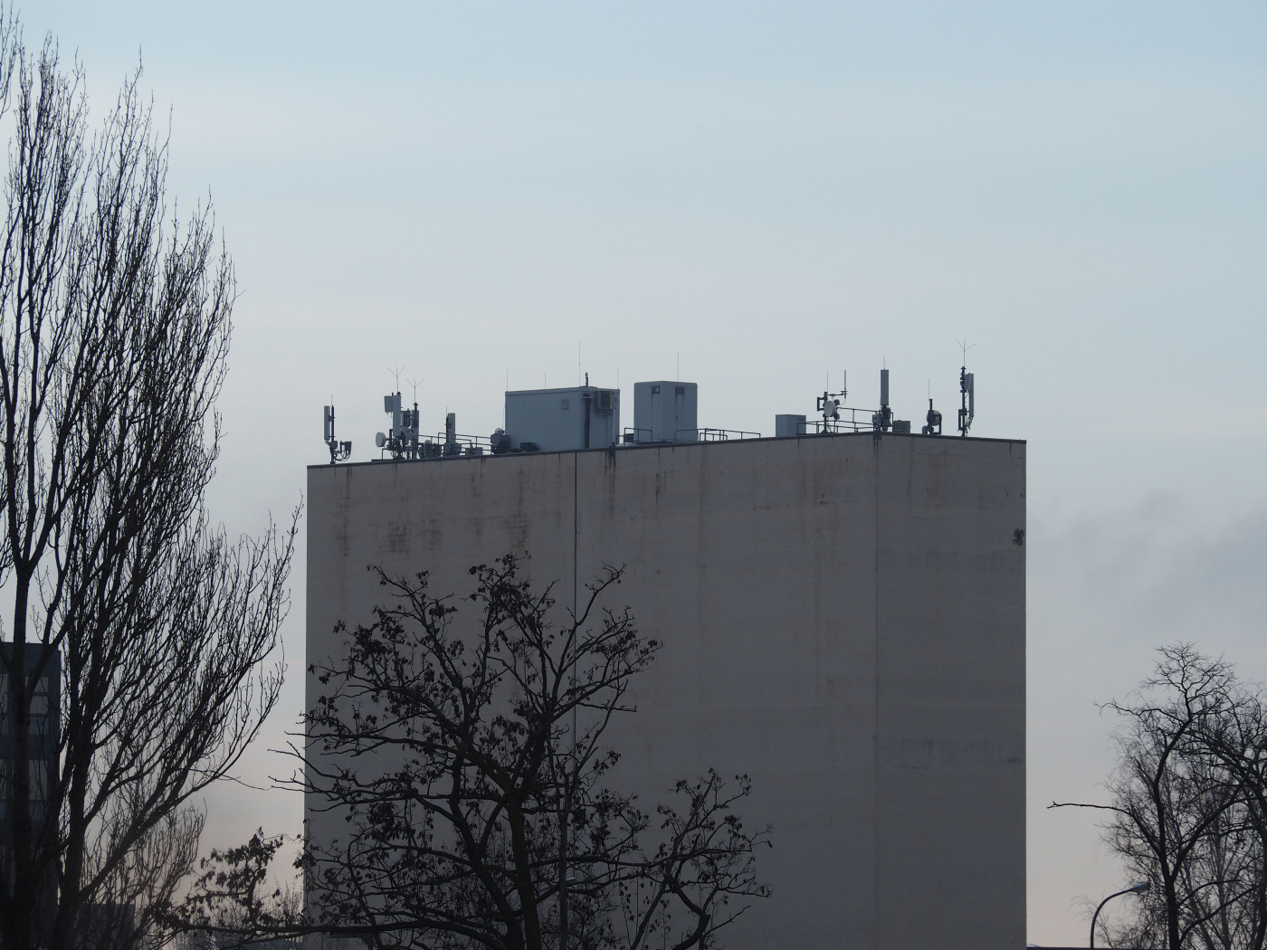
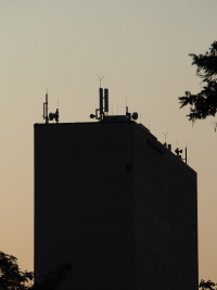
Lots of directional radio antennas power o2's 4G sector antennas, that are on top of a high building close to the end of Kitzingstraße, Mariendorf. | Lots of directional radio antennas power o2's 4G sector antennas, that are on top of a high building close to the end of Kitzingstraße, Mariendorf. It gained a second antenna per sector for Band 3 in mid-2019. | ||
View from the south/south-east: | View from the south/south-east: | ||
| Line 11: | Line 11: | ||
[[File:20326o2-sw.JPG|1400px]] | [[File:20326o2-sw.JPG|1400px]] | ||
Seen from the | Seen from the north at Lankwitzer Straße: | ||
[[File:20326o2- | [[File:20326o2-n.JPG|1400px]] | ||
Seen from the | Seen from the west at Haynauer Straße 56, compared to an old photo from March 2019: | ||
[[File:20326o2- | [[File:20326o2-w.JPG|200px]] | ||
File:20326o2-w-old-Mar2019.jpg|200px]] | |||
Revision as of 18:12, 6 May 2020
Lots of directional radio antennas power o2's 4G sector antennas, that are on top of a high building close to the end of Kitzingstraße, Mariendorf. It gained a second antenna per sector for Band 3 in mid-2019.
View from the south/south-east:
Seen from the south-west at Trachenbergring:
Seen from the north at Lankwitzer Straße:
Seen from the west at Haynauer Straße 56, compared to an old photo from March 2019:
