Difference between revisions of "File:502153 121647 2.png"
Jump to navigation
Jump to search
(Unifi Air coverage map that matches location of eNB121647) |
(No difference)
|
Latest revision as of 14:46, 15 February 2021
Unifi Air coverage map that matches location of eNB121647
File history
Click on a date/time to view the file as it appeared at that time.
| Date/Time | Thumbnail | Dimensions | User | Comment | |
|---|---|---|---|---|---|
| current | 14:46, 15 February 2021 | 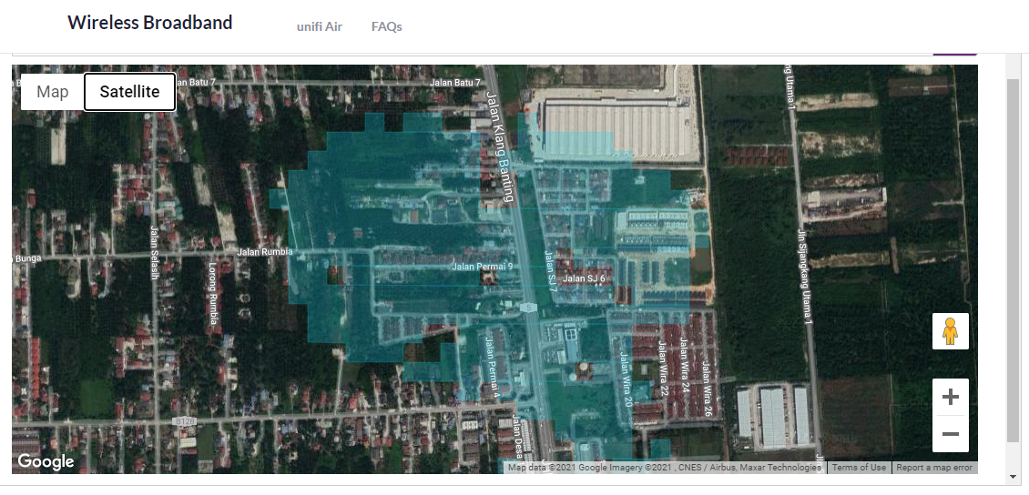 | 1,130 × 544 (1.2 MB) | Mrlockermanmy (talk | contribs) | Unifi Air coverage map that matches location of eNB121647 |
You cannot overwrite this file.
File usage
The following page uses this file: