Difference between revisions of "262 1 14256 2090"
Jump to navigation
Jump to search
| (7 intermediate revisions by the same user not shown) | |||
| Line 1: | Line 1: | ||
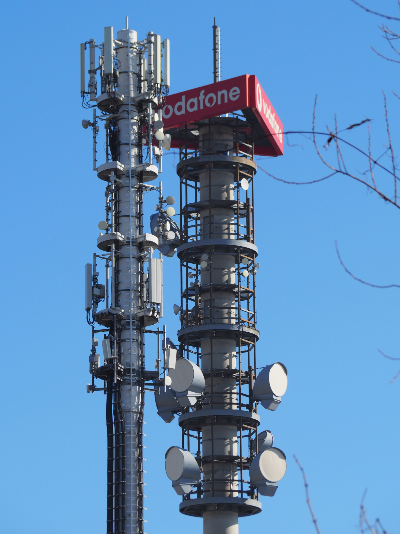
The mast, that all providers share, seen from the west at Doldenweg, in front of Vodafone's directional radio tower: | |||
[[File: | [[File:22443o2-10059VF-104781DT-Atillastr-w.JPG|1400px]] | ||
Telekom's 2G-/3G- and 4G-enabled antenna panels are the older ones between o2's [[262 3 22443|eNB ID 22443]] right at the top of the tower. Vodafone's [[262 2 10059|eNB ID 10059]] sits at the second level of the tower. | |||
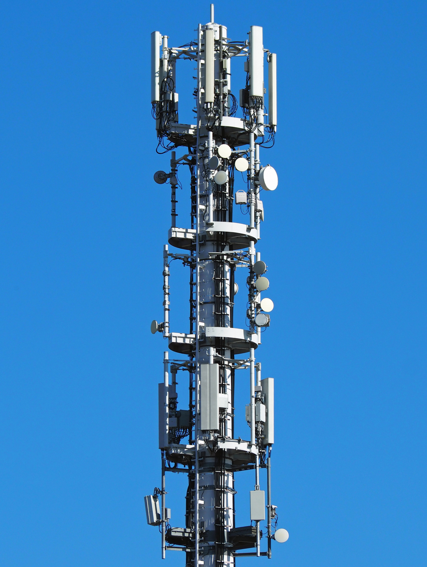
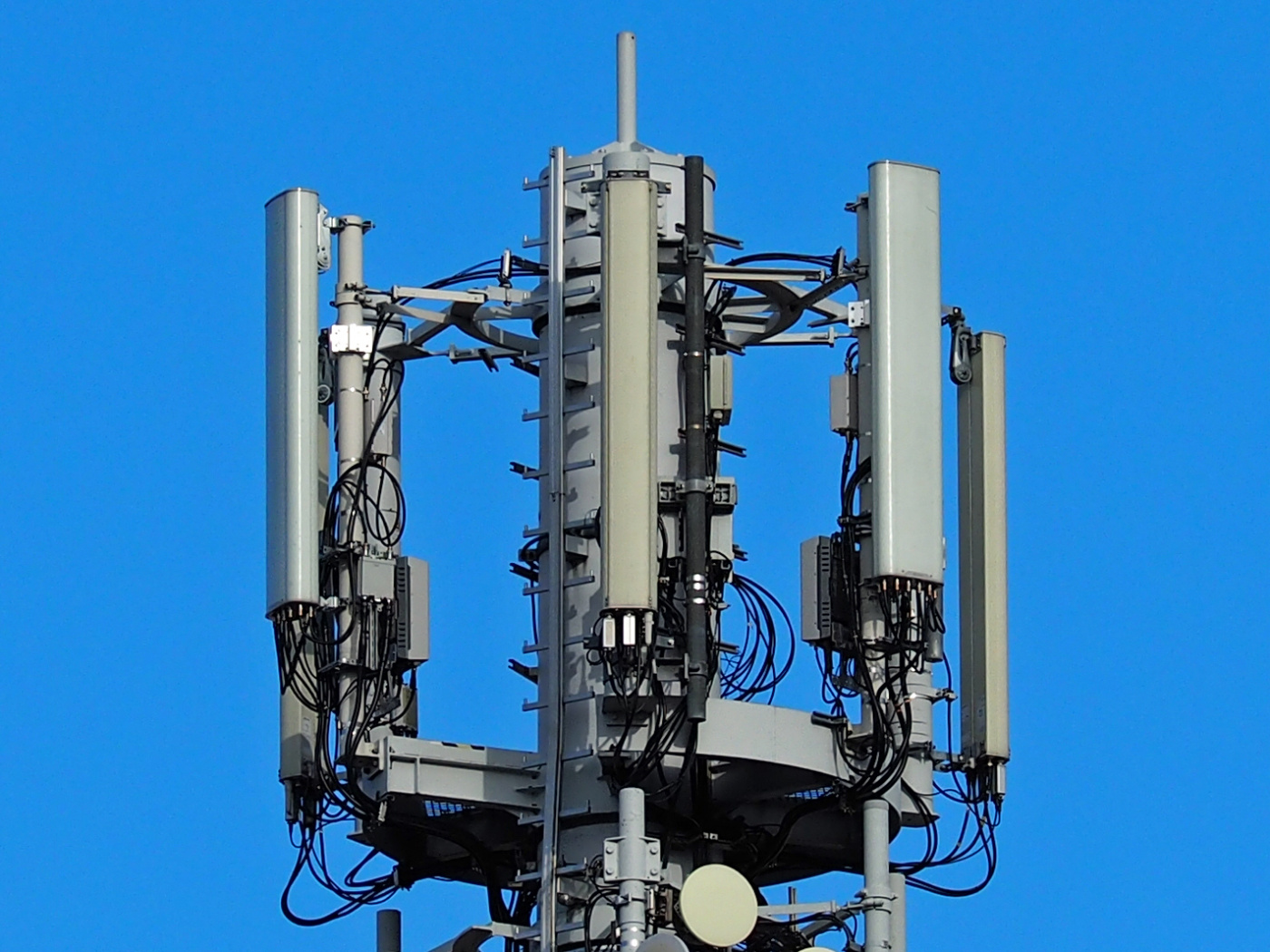
View from the south-west: | |||
[[File: | [[File:22443o2-10059VF-104781DT-Atillastr-sw.jpg|1400px]] | ||
[[File: | [[File:22443o2-10059VF-104781DT-Atillastr-top.JPG|1400px]] | ||
View from the south-east: | |||
[[File:22443o2-10059VF-104781DT-Atillastr-e.JPG|1400px]] | |||
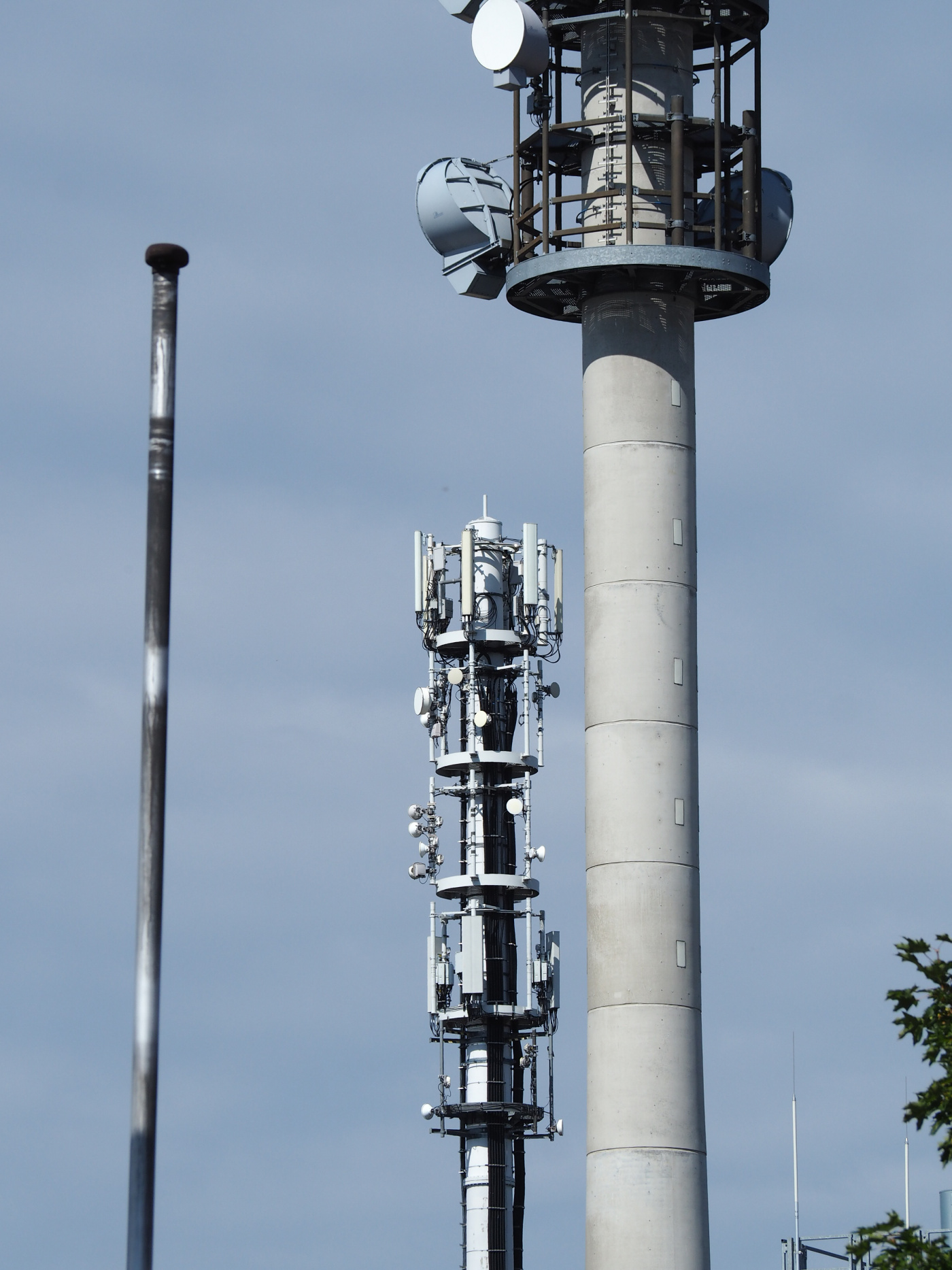
View from the north-east: | |||
[[File:22443o2-10059VF-104781DT-Atillastr-ne.jpg|1400px]] | |||
[[File:22443o2-104781DT-Atillastr-top-e.jpg|1400px]] | |||
Latest revision as of 16:36, 7 May 2020
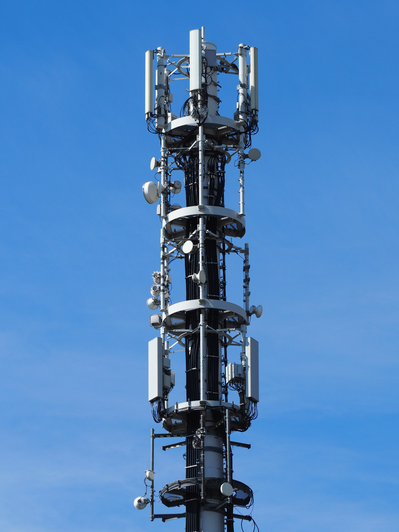
The mast, that all providers share, seen from the west at Doldenweg, in front of Vodafone's directional radio tower:
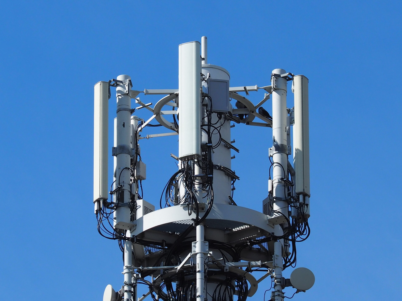
Telekom's 2G-/3G- and 4G-enabled antenna panels are the older ones between o2's eNB ID 22443 right at the top of the tower. Vodafone's eNB ID 10059 sits at the second level of the tower.
View from the south-west:
View from the south-east:
View from the north-east:
