Difference between revisions of "262 2 308 68"
Jump to navigation
Jump to search
| Line 17: | Line 17: | ||
[[File:10068VF-w-dist.JPG|786px]] | [[File:10068VF-w-dist.JPG|786px]] | ||
Seen together with [262 3 20066|o2 eNB ID 20066]]: | Seen together with [[262 3 20066|o2 eNB ID 20066]]: | ||
[[File:20066o2-10068VF-w-dist.JPG|786px]] | [[File:20066o2-10068VF-w-dist.JPG|786px]] | ||
Latest revision as of 17:29, 8 May 2020
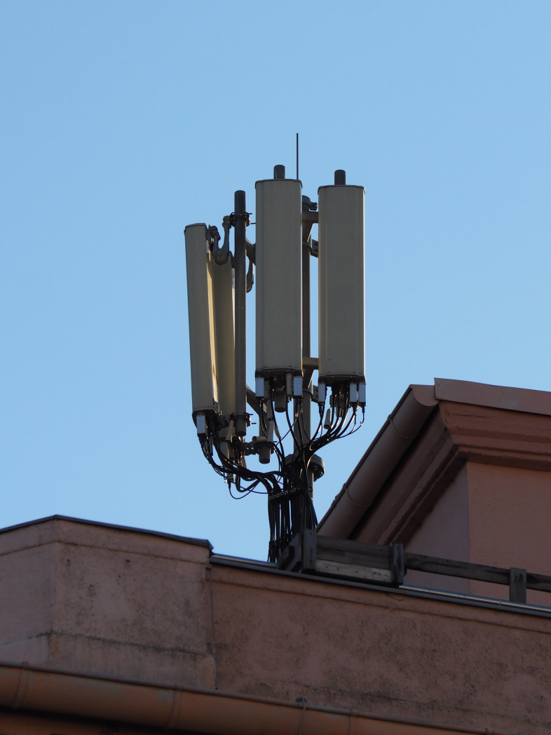
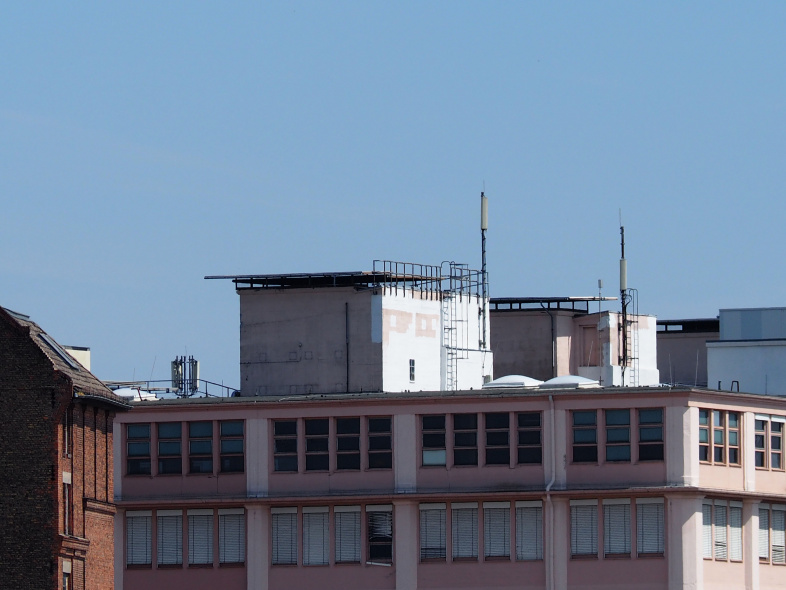
The northern and south-eastern sectors of the 2G/3G/4G site, seen from the same street-side standing north-east:
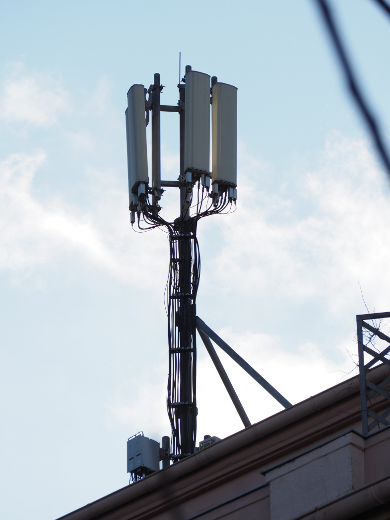
And standing north-west:
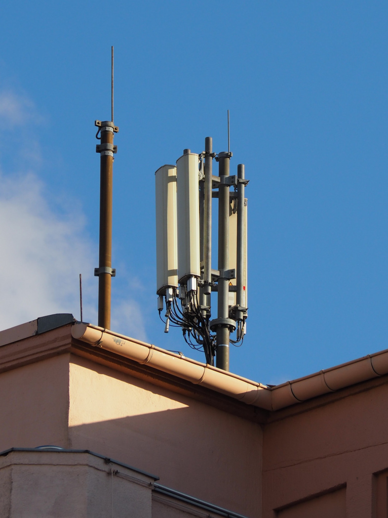
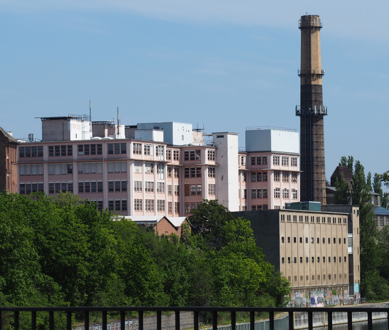
Distant view from the north-west-west, with the brick tower (where o2 eNB ID 20066 is located) in the background:
Distant view from Komturbrücke west:
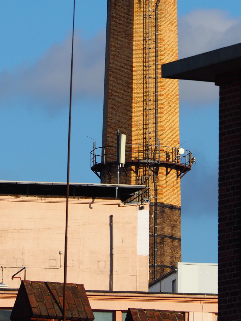
Seen together with o2 eNB ID 20066:
