Difference between revisions of "310 410 242871"
Jump to navigation
Jump to search
Tsalisbury01 (talk | contribs) (Added Image of 242871) |
Tsalisbury01 (talk | contribs) |
||
| (7 intermediate revisions by the same user not shown) | |||
| Line 13: | Line 13: | ||
| 12 || 10 MHz || 709 || 739 | | 12 || 10 MHz || 709 || 739 | ||
|- | |- | ||
| 14* || 10 MHz || | | 14* || 10 MHz || 763 || 793 | ||
|- | |- | ||
| 30* || 10 MHz || 2310 || 2355 | | 30* || 10 MHz || 2310 || 2355 | ||
|- | |||
| 66* || 10 MHz || 1775 || 2175 | |||
|} | |} | ||
•*Not on this tower/Possible | •*Not on this tower/Possible | ||
AT&T is Co-Located with T-Mobile on this site. | AT&T is Co-Located with T-Mobile (GSM: 3676 | UMTS: 3676/5676 | LTE: 28913) on this site. | ||
AT&T Bottom Sectors: | AT&T Bottom Sectors: | ||
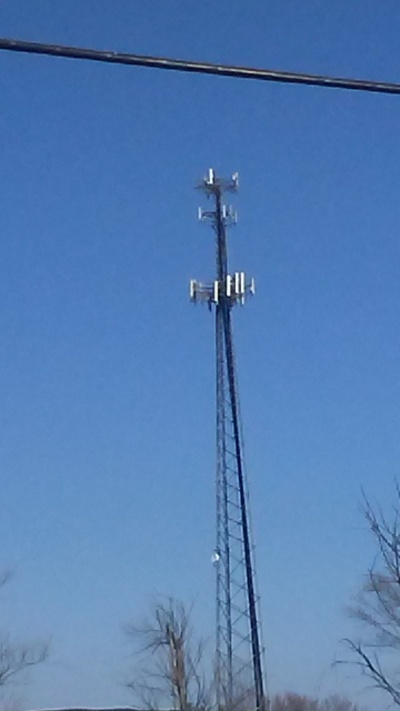
[[File:242871.jpg|400px]] | [[File:242871.jpg|400px]] | ||
This Photo was taken at the Gas Station at Athena School Road and MO-110. | |||
Latest revision as of 01:11, 30 November 2018
This site has 100% Nokia Equipment on it. BAND 4 WAS ACTIVATED ON 4/11/2018.
| Band | Bandwidth | Uplink | Downlink |
|---|---|---|---|
| 2 | 20 MHz | 1860 | 1940 |
| 4 | 10 MHz | 1715 | 2115 |
| 5 | 5 MHz | 837.5 | 882.5 |
| 12 | 10 MHz | 709 | 739 |
| 14* | 10 MHz | 763 | 793 |
| 30* | 10 MHz | 2310 | 2355 |
| 66* | 10 MHz | 1775 | 2175 |
•*Not on this tower/Possible
AT&T is Co-Located with T-Mobile (GSM: 3676 | UMTS: 3676/5676 | LTE: 28913) on this site. AT&T Bottom Sectors:
This Photo was taken at the Gas Station at Athena School Road and MO-110.
