Difference between revisions of "310 410 360374"
Jump to navigation
Jump to search
m |
m |
||
| Line 1: | Line 1: | ||
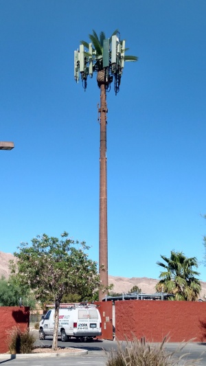
[[File:ATT_33801_360374.jpg| | [[File:ATT_33801_360374.jpg|300px|thumb|left|Looking east. (June 2019)]]<br /> | ||
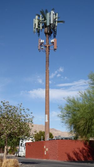
[[File:310_410_360374.jpg| | [[File:310_410_360374.jpg|300px|thumb|left|May 2022, the paint has faded and Dish has installed.]]<br /> | ||
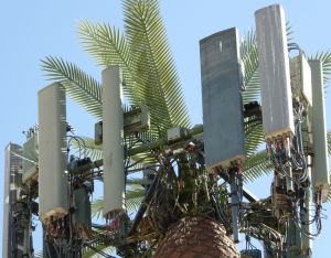
[[File:310_410_360374_a.jpg| | [[File:310_410_360374_a.jpg|300px|thumb|left|Outer antennas are CCI, wide antenna by KMW, and UMTS equipment by Powerwave.]]<br /> | ||
Sunrise Manor, NV: 36.155724, -115.037962<br /> | Sunrise Manor, NV: 36.155724, -115.037962<br /> | ||
Height: 74 ft.<br /> | Height: 74 ft.<br /> | ||


