Difference between revisions of "311 480 20431"
Jump to navigation
Jump to search
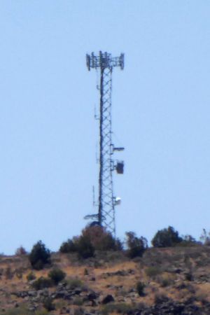
(Created page with "thumb|left|Looking south. (July 2020)<br /> (south of) Grand Canyon West, AZ: 35.908224, -113.896310 Verizon LTE b13,66/CDMA BC0 (7/2022)") |
m |
||
| (One intermediate revision by the same user not shown) | |||
| Line 1: | Line 1: | ||
[[File:311_480_20431.jpg|thumb|left|Looking south. (July 2020)]]<br /> | [[File:311_480_20431.jpg|thumb|left|Looking south. (July 2020)]]<br /> | ||
Verizon LTE b13,66/CDMA BC0<br /> | |||
Sectors: 3<br /> | |||
Equipment: sector antennas, ground radios | |||
(Current 8/2022) | |||
(south of) Grand Canyon West, AZ<br /> | |||
35.908224, -113.896310<br /> | |||
Structure: self-supporting/lattice tower<br /> | |||
Height: 190 ft<br /> | |||
Elevation: 5809 ft.<br /> | |||
Built: 4/2011 | |||
