File:105056DT-20285o2-se.JPG
Jump to navigation
Jump to search
Size of this preview: 450 × 600 pixels.
Original file (2,400 × 3,200 pixels, file size: 1.52 MB, MIME type: image/jpeg)
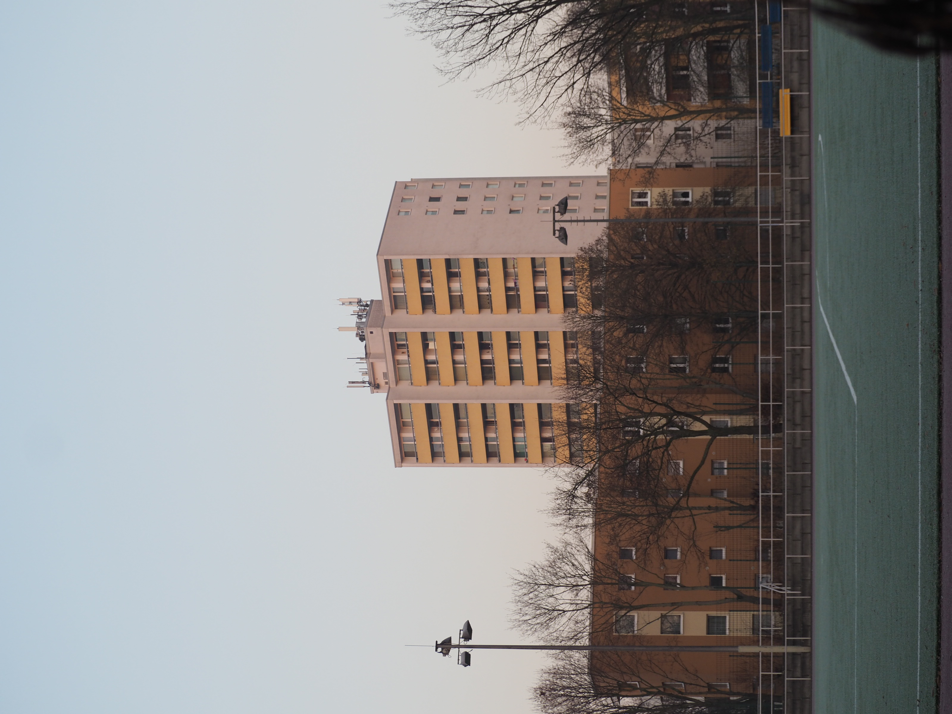
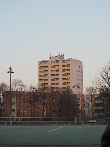
Telekom eNB 105056 at Kreuznacher Straße 65, Berlin-Steglitz at the edge to Charlottenburg-Wilmersdorf. Seen from the south-east at Paulsenstraße, zoomed out.
File history
Click on a date/time to view the file as it appeared at that time.
| Date/Time | Thumbnail | Dimensions | User | Comment | |
|---|---|---|---|---|---|
| current | 08:12, 8 February 2020 | | 2,400 × 3,200 (1.52 MB) | TechNils (talk | contribs) | Telekom eNB 105056 at Kreuznacher Straße 65, Berlin-Steglitz at the edge to Charlottenburg-Wilmersdorf. Seen from the south-east at Paulsenstraße, zoomed out. |
You cannot overwrite this file.
File usage
The following 4 pages use this file: