File:20230113 Maysville.jpg
Jump to navigation
Jump to search
Size of this preview: 450 × 600 pixels. Other resolution: 1,536 × 2,048 pixels.
Original file (3,000 × 4,000 pixels, file size: 981 KB, MIME type: image/jpeg)
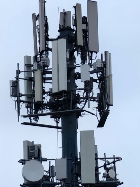
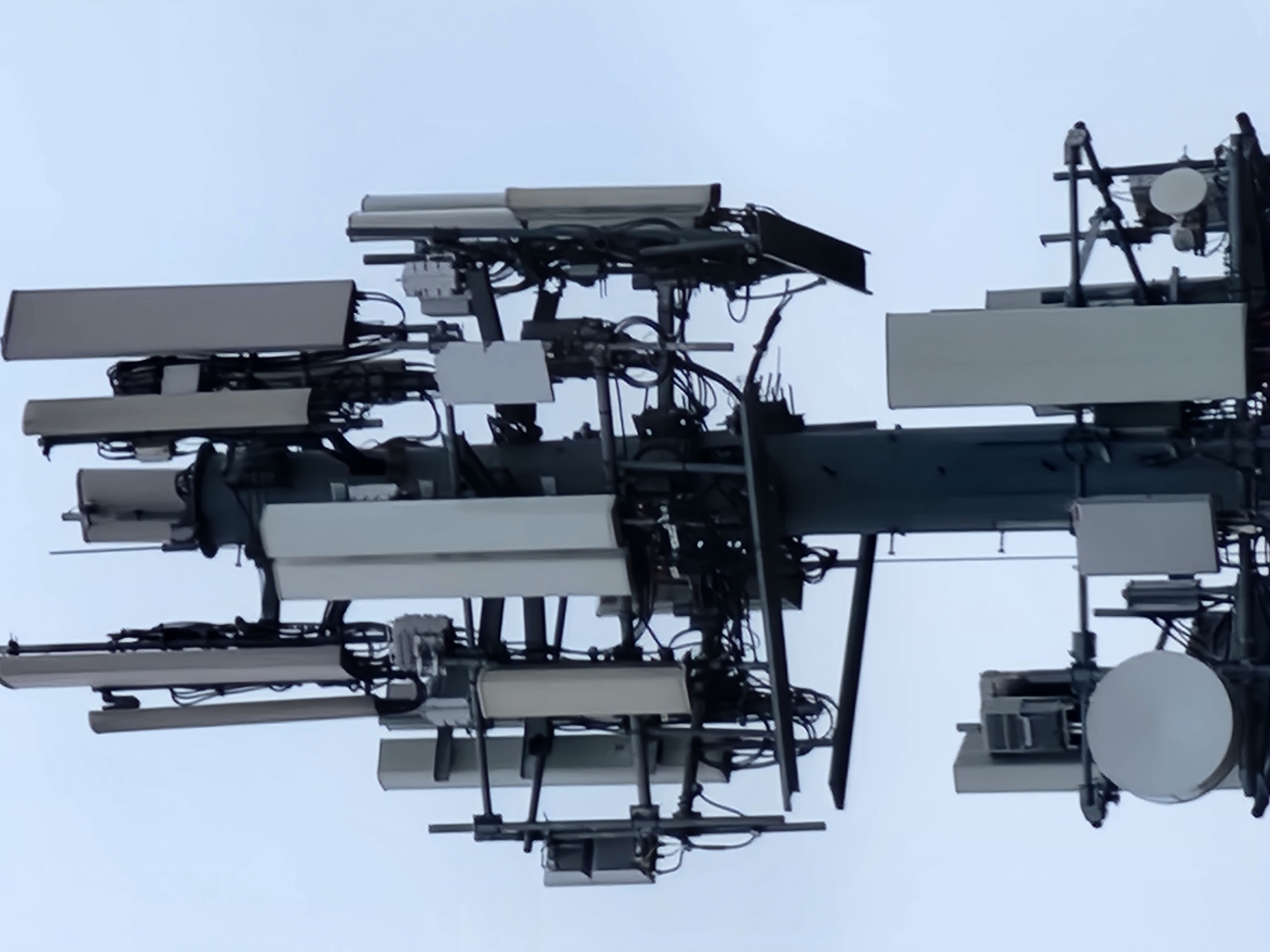
Verizon eNB 230319 at Maysville/Meijer Dr intersection
File history
Click on a date/time to view the file as it appeared at that time.
| Date/Time | Thumbnail | Dimensions | User | Comment | |
|---|---|---|---|---|---|
| current | 13:49, 17 January 2023 | | 3,000 × 4,000 (981 KB) | Zac2 (talk | contribs) |
You cannot overwrite this file.
File usage
The following page uses this file: