File:22443o2-10059VF-104781DT-Atillastr-top.JPG
Revision as of 10:35, 26 February 2020 by TechNils (talk | contribs) (TechNils uploaded a new version of File:22443o2-10059VF-104781DT-Atillastr-top.JPG)

Size of this preview: 800 × 600 pixels. Other resolution: 1,423 × 1,067 pixels.
Original file (1,423 × 1,067 pixels, file size: 1.12 MB, MIME type: image/jpeg)
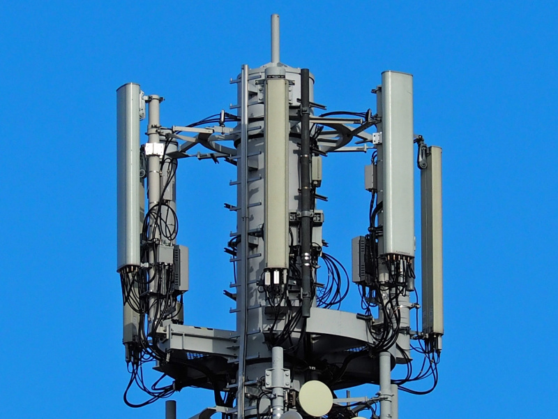
eNB ID's 22443 from o2, near the VF directional radio tower at Atillastraße 58 in Berlin-Tempelhof.
File history
Click on a date/time to view the file as it appeared at that time.
| Date/Time | Thumbnail | Dimensions | User | Comment | |
|---|---|---|---|---|---|
| current | 10:35, 26 February 2020 | | 1,423 × 1,067 (1.12 MB) | TechNils (talk | contribs) | eNB ID's 22443 from o2 and 104781 from Telekom, near the VF directional radio tower at Atillastraße 58 in Berlin-Tempelhof. |
| 12:33, 5 August 2019 | 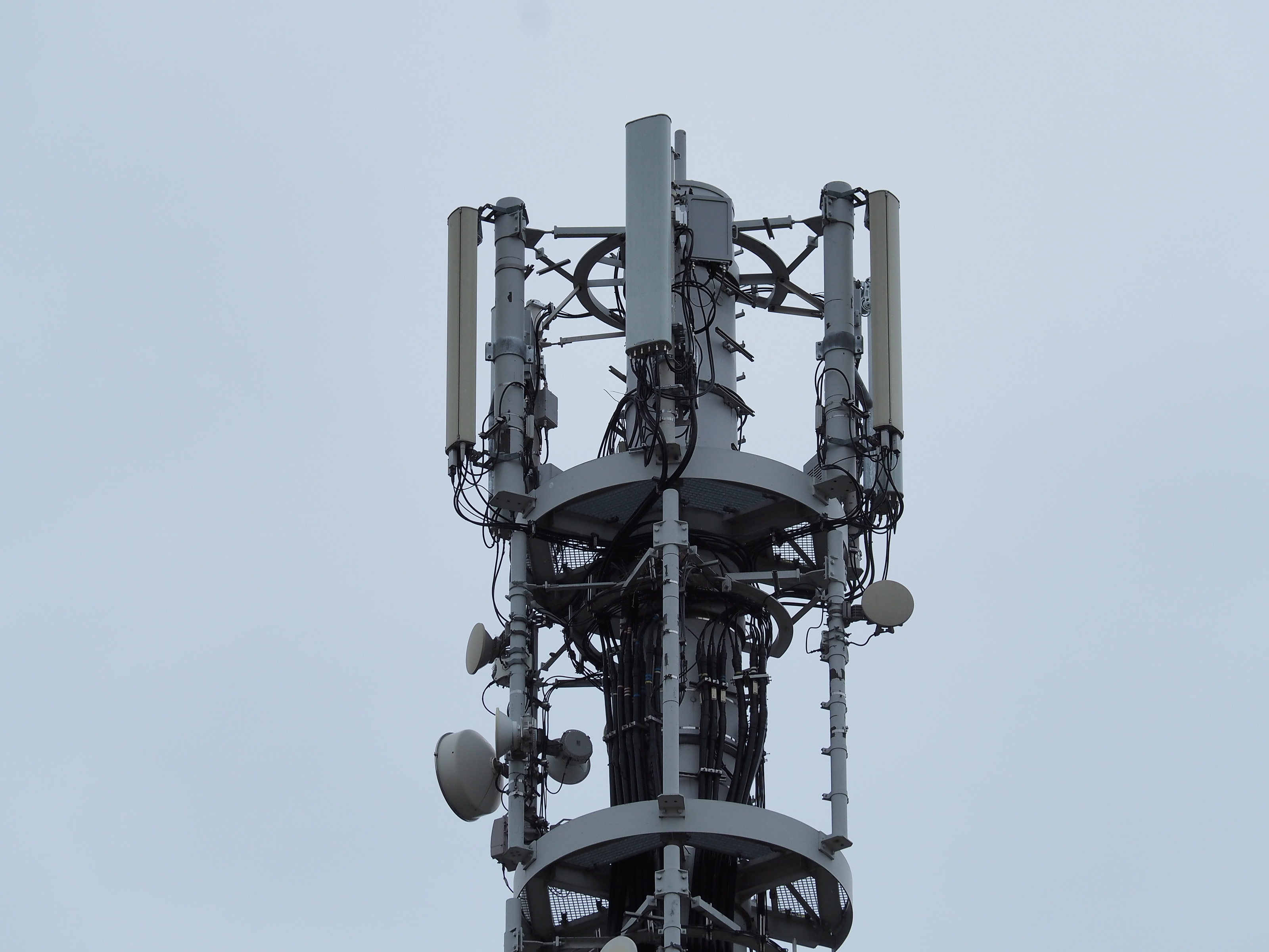 | 3,200 × 2,400 (1.58 MB) | TechNils (talk | contribs) | eNB ID's 22443 from o2, near the VF directional radio tower at Atillastraße 58 in Berlin-Tempelhof. |
You cannot overwrite this file.
File usage
The following file is a duplicate of this file (more details):
The following 8 pages use this file: