File:502153 121460 2.png
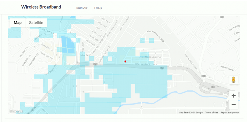
Revision as of 02:18, 16 February 2021 by Mrlockermanmy (talk | contribs) (Unifi Air's coverage map that matches eNB 121460. Red dot represents location of the tower & Unifi Air/Mobile/Bebas shares same tower/coverage.)

Size of this preview: 800 × 397 pixels. Other resolution: 1,128 × 560 pixels.
Original file (1,128 × 560 pixels, file size: 65 KB, MIME type: image/png)
Unifi Air's coverage map that matches eNB 121460. Red dot represents location of the tower & Unifi Air/Mobile/Bebas shares same tower/coverage.
File history
Click on a date/time to view the file as it appeared at that time.
| Date/Time | Thumbnail | Dimensions | User | Comment | |
|---|---|---|---|---|---|
| current | 02:18, 16 February 2021 | | 1,128 × 560 (65 KB) | Mrlockermanmy (talk | contribs) | Unifi Air's coverage map that matches eNB 121460. Red dot represents location of the tower & Unifi Air/Mobile/Bebas shares same tower/coverage. |
You cannot overwrite this file.
File usage
The following page uses this file: