File:Mackerel Hill Water Tower.jpg
Jump to navigation
Jump to search

Size of this preview: 450 × 600 pixels. Other resolution: 480 × 640 pixels.
Original file (480 × 640 pixels, file size: 113 KB, MIME type: image/jpeg)
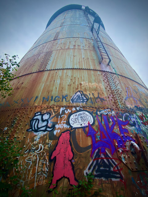
Sits on top of Mackerel Hill in the Beaver Brook North Reservation of Waltham, MA.
File history
Click on a date/time to view the file as it appeared at that time.
| Date/Time | Thumbnail | Dimensions | User | Comment | |
|---|---|---|---|---|---|
| current | 17:29, 26 October 2021 | | 480 × 640 (113 KB) | Ru0swks23 (talk | contribs) |
You cannot overwrite this file.
File usage
The following page uses this file: